buoy on remote ocean surface

Browse Basin Ocean Dynamics

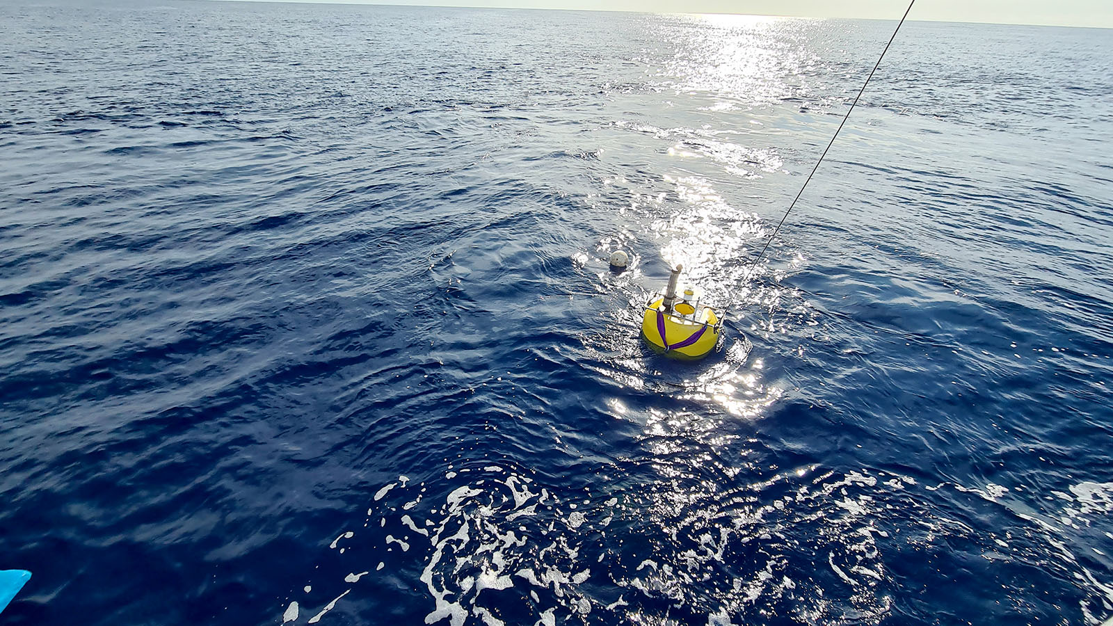
A multi-part expedition to the Browse Basin north of Broome to investigate the complex ocean currents in the region. The team deployed 5 moorings and spent almost 4 weeks at sea collecting a suite of different measurements. 

This project was a combined effort from the ARC TIDE ITRH with members from AIMS and DST (Defence). 


Follow their voyage here. 

Broome

Latitude: -17.96°SLongitude: 122.23°E

Use the + button on the map to zoom in closer!


The team spent a week in Broome assembling the moorings and other equipment, ready to be loaded on the AIMS Solander. During this hot, humid and busy week a category 5 cyclone thankfully turned away from Broome. The team also experienced a minor earthquake!

lander frame being prepared for deployment

The bottom lander frame is prepared for deployment on the sea floor. Instrumentation to measure turbulent currents at high frequency were attached with maximal precision. Instrumentation to measure turbidity and temperature were also included.

performing 'rip off' tests

The team conducts land tests of a novel anchor rip-off mechanism designed to allow the placement of key instruments as close to the sea floor as possible during deployment.


Nylon bolts with low load tolerance were used to keep instruments in place during deployment and intentionally fail when the mooring release was triggered.

sun-safe instrument programming

Our team leader demonstrates sun-safe instrument programming in the ambience of Doug’s yard in the industrial outskirts of Broome.

X
Cookies help us improve your website experience. By using our website, you agree to our use of cookies.
Confirm