


PROFILE
Associate Professor Nik Callow
Since Landsat was launched in the 1970s, global problems have been answered using remote sensing and spatial data. Examples can be found in how human development and a changing climate is impacting ecosystems and economies. There is global demand for persons skilled in spatial analytics and remote sensing who can understand, use and manipulate spatial and remotely sensed data to answer the big questions.
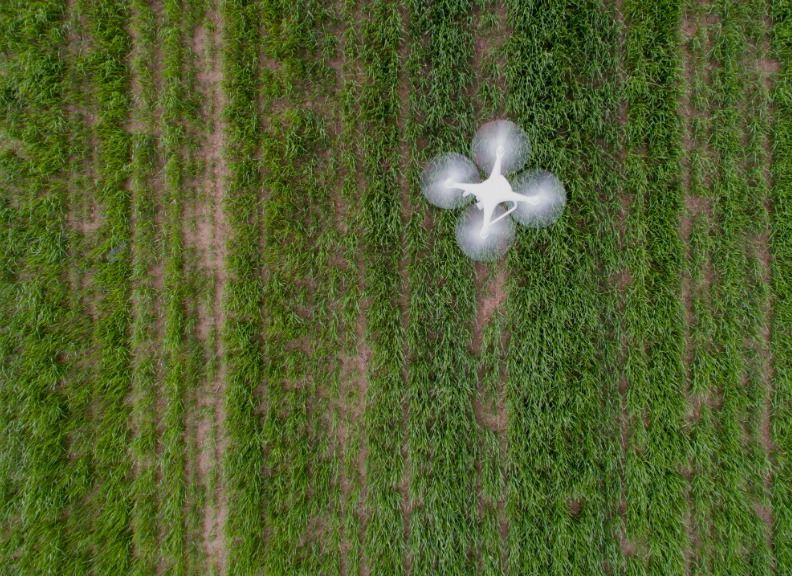
Associate Professor Nik Callow is a geographer, working across the areas of hydrology, geomorphology, Geographical Information Science (GIS) and remote sensing. Associate Professor Callow’s work is focused on advancing physical geography and our understanding of Australian landscape processes, particularly the impacts from changes in climate and human interaction with landscapes. Professor Callow established and manages the Civil Aviation Safety Authority (CASA) licenced drone remote sensing group as Chief Remote Pilot for The University of Western Australia (CASA.ReOC.0628) and hold the institutional Remote Operators Certificate (ReOC).
Professor Callow has held teaching and research lecturing positions at The University of Queensland and now at The University of Western Australia, and holds a Graduate Certificate in Higher Education (GCHEd) from UQ (2011).
Qualifications:
- BSc Hons (UWA 2000)
- PhD (UWA 2007)
- GCHEd (UQ 2011)
External Positions
- Editorial Panel of Geographical Research
- Treasurer of Australian New Zealand Geomorphology Group (ANZGG)
Related links
Teaching and supervisor opportunities
PhD Supervision Opportunities: Professor Callow has supervised 11 students to completion with them securing jobs in industry, academic and government. Professor Callow currently supervises seven PhD students, with opportunities for future students in the areas of:
- Fluvial geomorphology and surface water processes in Australian landscapes
- Remote sensing including satellite, drone and ground-based: optical, spectral, thermal, and supper to use Remotely Piloted Aircraft Systems in research (<25kg multirotor and <7kg fixed-wing). Photogrammetry, Structure from Motion (SfM) and topographic change analysis
- Applications of Distributed Temperature Sensing (DTS)
- Hydrology and ecohydrology including remote and data-scarce systems, and impacts of climate change on water resources
- Studies in palaeoclimate reconstruction
- Alpine hydrology and dynamics of the marginal Australian snowpack
Teaching overview
Undergraduate Teaching:
- GEOG1103 Coastal Cities: Geographical Perspectives
- GEOG2202 Reading Landscapes: People and Processes
Postgraduate Teaching
- ENVT4406 Catchment and River Processes
- ENVT5516 Environmental Monitoring and Sensors
Funding
2019-2022
Australian Research Council
- Unlocking the environmental archives of the Kimberley’s past.
- Callow, N., McGowan, H., Haberle, S., Bird, M., Marx, S., Woodhead, J., Moss, P., Browning, S. & Preusser, F.
2018-2021
CRC for Honey Bee Products
- “Understanding the environmental drivers of flora and honey bee product production: development of Remote Sensing approaches for predicting flowering events”
- Boruff, B., Callow, N., Mouat, C., Pauli, N., Biggs, E. & Setterfield, S.
2018-2019
WA Department of Water and Environmental Regulation (DWER)
- Streamflow generation along the Donnelly River
- Bourke, S. & Callow, N.
2018-2019
Australian Research Data Commons (ARDC)
- Agriculture Research Data Cloud
- Taylor, N., Millar, H., Callow, N., Colmer, T., Biddulph, B. & Leske, B.
2015-2019
Grains Research & Development Corporation (GRDC)
- Spatial Temperature Measurement and Mapping Tools to Assist Growers, Advisors and Extension Specialists Manage